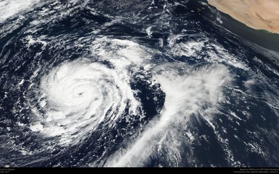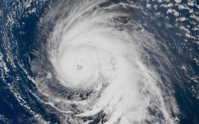
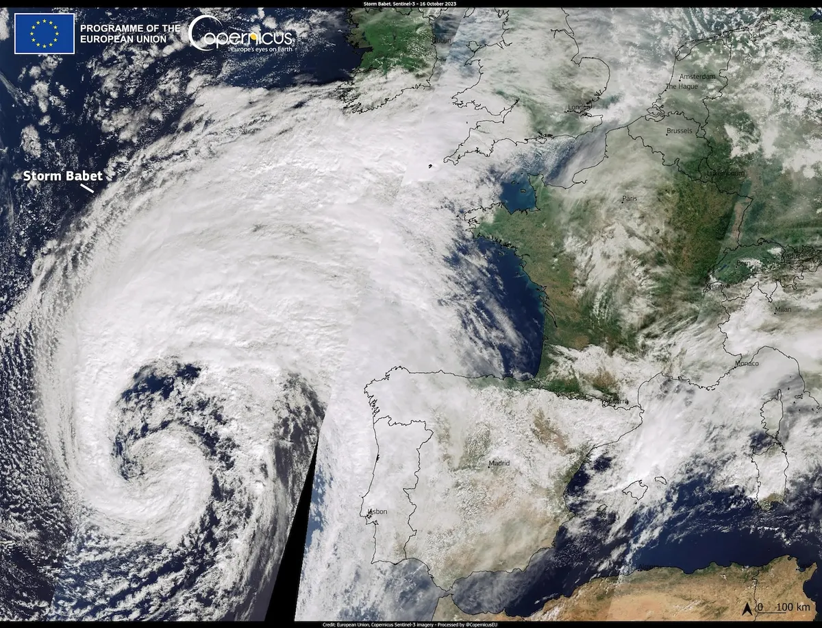
Photo: Storm Babet, approaching the United Kingdom on 17 October 2023. Credit: European Union, Copernicus Sentinel-3 imagery.
A common event
Marine heatwaves are defined as periods when daily sea-surface temperatures exceed a threshold for several days. They are occurring increasingly frequent in European seas – including the North Sea – and they are also intensifying. This not only affects the world under water but also the world on land. The warm seawater fuels the overlying storms. As a result, the rainfall of these storms intensifies, leading to more floods.
Two decades ago, marine heatwaves were a new phenomenon in European seas. Over the past years, they have already become a common event in the summer. Now that it looks like these events are here to stay, it is important to know how that can affect our weather and our floods.
Babet as an example
Experts took the storm Babet in the United Kingdom in the autumn of 2023 as an example and studied how the warm water of the North Sea changed that storm. That storm was preceded by a week of marine heatwave conditions in the North Sea when the water throughout the 40–50 m of the Central North Sea was about 0.8–1 °C warmer than usual for this time of year.
The storm produced extreme rainfall, widespread flooding, and severe coastal erosion across northern regions of the United Kingdom. The storm brought 150 to 200 mm rainfall to parts of eastern Scotland, and 100 mm across much of the United Kingdom. A few rivers burst their banks, beaches eroded, locally harbour walls collapsed, and 7 people lost their lives.
The impact of the marine heatwave
We all know that when the air is warmer it can contain more water, and that therefore rainfall by storms is more intense. This intensification is a 7% more rainfall with every degree of warmer air, the so-called Clausius-Clapeyron relation. Little do we know about the additional effect of marine heatwaves to storm intensification.
In their study, the experts used advanced models to calculate the impact of the 2023 marine heatwave in the North Sea on rainfall, floods and coastal water levels. In their experiment, they compared this event with a counterfactual simulation of the same storm overlying the lower sea water temperatures in previous years.
Across the Northeast of the United Kingdom, the marine heatwave had increased the storm's impact on river discharge by 12–18%, on coastal wave power by 9%, and on the rise in water level at the coast due to storm surge by 20%. At the same time, whilst loading the storm with additional moisture, the marine heatwave subsided and the seawater cooled by 1 °C.
Implications for climate projections
The marine heatwave in the North Sea in 2023 can be viewed as representative of warming levels that likely become the ‘new normal’ in the future. The North Sea warms faster than the global warming trend. From the last two decades of the previous century to the first two decades of this century, seawater warmed by 1 °C. This trend continues: seawater in 2023 was 0.9 °C warmer than in the previous two decades. The storm Babet is a good example of how storms may evolve in response to the rise in seawater temperature.
Source: Goswami et al., 2026. Natural Hazards and Earth System Sciences 26: 3213–3230.