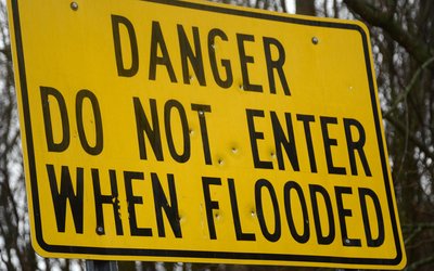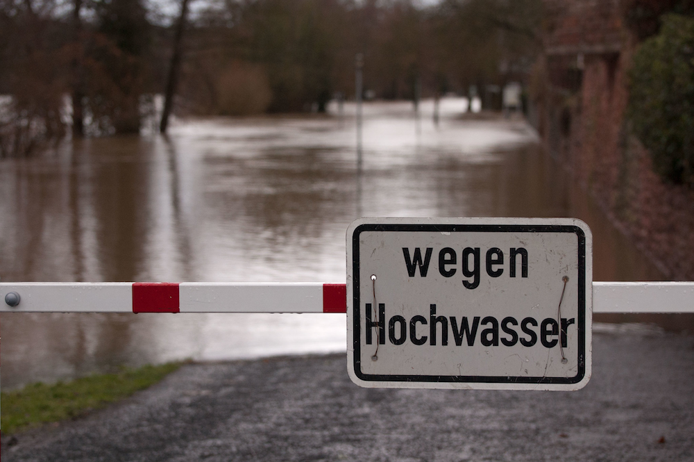
Photo: Flood sign (Philipp Gerbig, www.flickr.com)
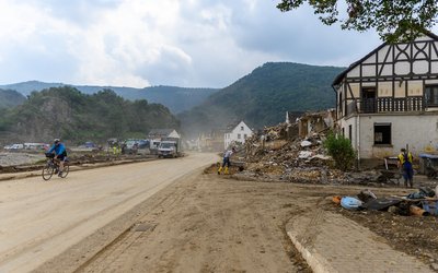
In the summer of 2021, an exceptional flood event struck a vast region in western Germany, Belgium, Luxembourg, and the Netherlands. The flood killed more than 230 people and caused 50 billion euros in damage. With more than 180 casualties in Germany alone, this was the most dramatic flood catastrophe in Germany since the storm surge in 1962 in northern Germany. The Ahr catchment was hardest hit. Other river catchments in Germany and neighbouring countries were also hit.
It could have been worse
Rainfall amounts reached 150 mm within 15 to 18 hours. The return period of this rainfall event has been estimated to be of the order of 400-500 years. The rapid water rise in the Ahr catchment within a few hours led to unprecedented water levels of up to 10 m, exceeding the historical high-water marks since 1804. The peak flow exceeded the highest instrumental record by three to more than four times.
Even though the flood was exceptional, it could have been worse. How much worse has been estimated by shifting the precipitation event across the landscape and calculating river discharge and flood volumes with models. In this simulation, a larger part of the rainfall event is positioned on top of the catchment area.
A slight shift to the east
The results of this exercise show that a slight displacement of the rainfall event would have made the disaster worse. If the event would have hit the catchment just 15–25 km further east, peak river flow at one of the main gauges in the river would have been about 32% higher than the actual flood, and the volume of water flooding the area would have been 26% larger. The simulated increases in peak flows are largest in the small tributaries upstream in the catchment, up to 160%.
In the town Altenahr, the mean and maximum inundation depths could have been 1.25 and 1.75 m higher, respectively. In the adjacent area at the town Kreuzberg, these simulated numbers reach 0.93 and 1.45 m, respectively. The changes in inundated areas are relatively small, around 4% and 9% for Altenahr and Kreuzberg, respectively. The largest simulated increase in flooded area is nearly 20% in the village of Dümpelfeld.
Downstream, the simulated changes in flooded areas and water depths are relatively small. Here, discharges from different tributaries and parts of the catchment come together and less severe flooding in some sub-catchments is compensated by more severe flooding of the others.
Impact
Since the simulated increases in flooded areas are relatively small, so are the increases of the percentage of affected buildings, a few percent. However, higher water levels and stronger currents, due to the larger flood volumes, could have caused more damage and casualties.
Source: Vorogushyn et al. (2025). Natural Hazards and Earth System Sciences 25: 2007–2029.