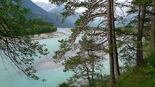
River runoff was simulated for the Lech basin (1000 km2), located in the Northern Limestone Alps for present (1971–2000) and future (2071–2100) climate conditions (two GCM’s, statistical downscaling, A1B and A2 scenarios). Future projections show a reduction of the intensity of mean annual floods by about 15%. For summer floods, this decrease is more pronounced by about 25%. In contrast, for the intensity of winter floods an increase by 50% is projected. For spring and autumn no clear tendencies were obtained (32).
The approach projects a slight decrease of annual maximum flood events up to a return period of around 10 years. For the most extreme events, instead, no clear signals were obtained as these projections are highly uncertain. The timing of the annual maximum floods significantly extents from around 7 months under present conditions to 12 months in the future scenarios (32).
Source: Dobler et al, 2012. Journal of Hydrology 460–461: 29–39.
Photo: Ingo Ronner (www.flickr.com)