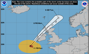
Americans, brace yourself for this year’s hurricane season
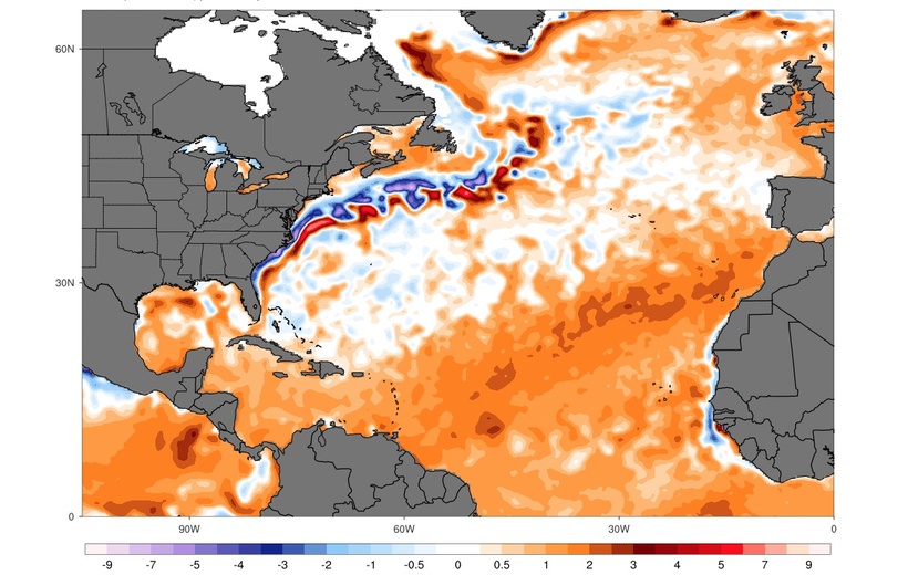
Map: Values reflect how much warmer (orange-red) or colder (blue-purple) sea surface temperatures were on April 3, 2024 (in °C), compared with the average between 1971 and 2000. Source: Climate Change Institute, University of Main. Retrieved April 5, 2024 from https://climatereanalyzer.org.
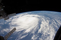
The east coast of the U.S. may be heading for an ‘extremely active’ hurricane season this year. One of the main reasons: The surface water in the Atlantic Ocean where tropical storms mostly form – the “tropical Atlantic,” stretching from West Africa to Central America – is extremely warm this year. This warmth provides the energy for these storms. In addition, a La Niña global climate pattern will likely develop this summer, promoting atmospheric wind patterns where storms can develop relatively easily.
In a normal year, about 14 tropical storms are formed, half of which are strong enough to be called hurricanes. This week, U.S. experts released a forecast stating that this number may almost double this year: 23 tropical storms including 11 hurricanes. Although these predictions are uncertain, the experts stated in the Washington Post that this ‘forecast comes with more confidence than usual’ and that ‘sea surface temperatures are so extreme across the Atlantic basin that stormy conditions appear all but assured’.
At this moment, in early April, the tropical Atlantic is as warm as it would normally be at the start of July. Time series and map visualisations of daily sea surface temperatures can be downloaded on www.climatereanalyzer.org from the University of Maine.
Sources: