Sponsored by Deltares (www.deltares.nl)
For many coastal regions located in developing countries the assessment of the regional extent of coastal hazards like ecosystem disruption, gradual inundation, flooding, salt water intrusion and coastal erosion is very time-consuming and is often hampered by lack of data.
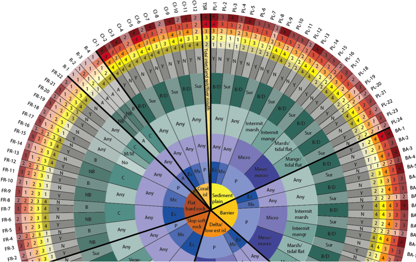
Now coastal hazard assessments can benefit from global open access data on underlying biogeophysical variables like geological layout, waves, sediment balance, tides, storms and vegetation. By using the Coastal Hazard Wheel App (CWHA) this information is integrated into uniform hazard levels.
Joost Stronkhorst of Deltares: ‘This app gives its users a good indication of the possible hazards and a better understanding of the coastal system. For more detailed analysis other expert tools are still necessary but a better understanding of your regional natural system through already available data can be a valuable start’.
Deltares developed the CHWA that makes full use of 12 open access global datasets on the geological layout, wave climate, tides, storms and vegetation in coastal and marine systems and uses information on accretion along coastlines as identified in Deltares’ Aqua monitor using satellite images. Based on this information the app-user can determine the hazard levels – from low (1) to very high (4) – at any given transact along coastlines of the world. The CHW app is part of the Coastal Hazard Wheel platform that is also launched in March 2017.
Currently the CHW App is being used for regional hazards assessments on coastal erosion in Vietnam and Colombia.