Sponsored by Deltares (www.deltares.nl)
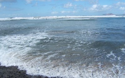
This summer popular beaches in Florida are shut down and people are told to stay out of the water. Toxic green algae stretch for miles along Florida’s coastline. Up north the waters of Lake Erie are covered with similar thick layers of algae. Agricultural runoff rich in nutrients combined with the water’s high temperature cause algae to thrive. These phenomena may become more frequent in summer due to higher water temperatures under climate change. Environmental models can be used to estimate their development. But these models can do so much more. Like helping sailing teams at the Olympics to win a medal.
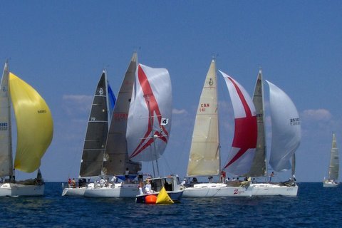
Models for medals
Dutch water research institute Deltares has been providing real-time forecasting services for detailed surface current speeds to support the USA Olympic Sailing Team during the 2016 Rio de Janeiro Summer Olympics & Paralympics in August and September. The forecasting system produced maps of the currents at a time resolution of 15 minutes for each of the locations, which were sent directly to the sailing team managers each morning before the day’s events. With those maps team managers were able to plan the course and strategy for each race based on the most up-to-date forecast of current conditions.
The making of these maps already started nine months before the Olympics, so that they could be used for training. One year ago Deltares made a floating litter forecasting system for this specific site for Rio’s State Environmental Agency (SEA-RJ). This was done to enable them to clean up Guanabara Bay more effectively before the Olympics. The Olympic sailing federation heard about this modelling of the bay and got in contact. Could such a system be adapted into relevant sailing forecasting?
Tailor-fit service
The Olympic Sailing event was held at several sites located within the main channel leading to the Guanabara Bay and just outside the Bay inlet. Project leader Lora Buckman: ‘of course we had to make the service tailor-fit for the sailors needs. The forecasts are generated using a 3-dimensional numerical model (Delft3D) to calculate the water flow as a result of complex interactions between tide, wind forcing, and temperature and salinity gradients, which cause mixing throughout the Bay.’
Model algae blooms or harmful spills
This water flow model is really intended to model algae blooms or environmental harmful spills. The flows can be seen and followed in real-time on the internet so that timely measures can be taken to safeguard water quality. Buckman: ‘those types of modelling are Deltares’ core business, but being American myself it was nice to help out our sailing team. It definitely shows the variety of purposes of our modelling work.’
Photo: Michael Kooiman (www.flickr.com)